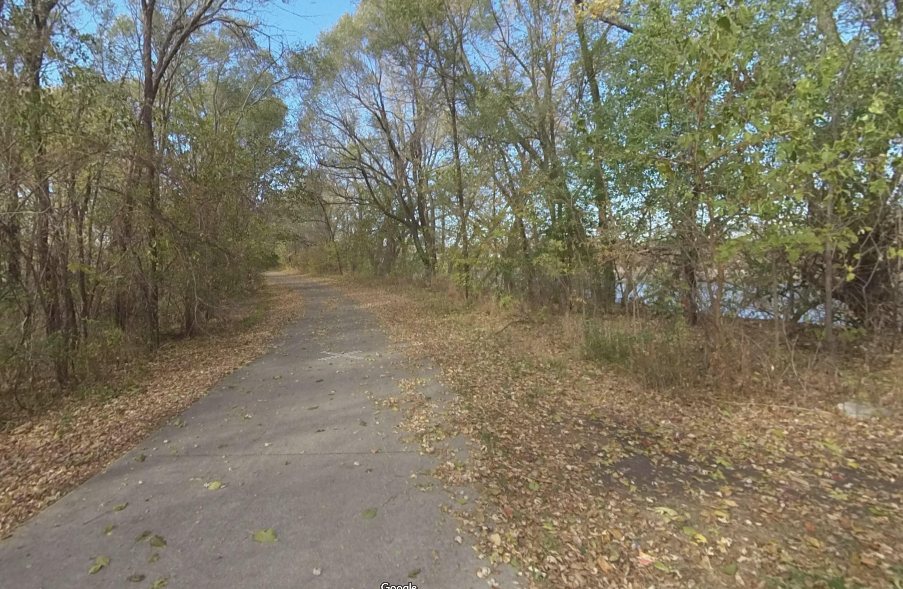
Cedar Prairie Loop

19.2 miles | 1 hr 38 min. | Paved Surface

This loop has a little bit of everything. It passes by fields and wooded areas, over creeks and rolling hills, and through residential areas, shopping centers, and industrial districts. It skirts the edge of the Cedar Valley Soccer Complex and crosses through the Katoski Greenbelt and over Black Hawk Creek. It then runs through Downtown Waterloo and finally back past the Cattle Congress Grounds, through Sherwood Park, and the Hartman Nature Reserve. There are restrooms at strategic points along the way and also several bicycle repair stations! This loop connects with just about every trail in the Cedar Valley Trails system, so there are many possibilities for extending or shortening your trip.

A convenient starting point is at Pfeiffer Springs Park in Cedar Falls, where ample free parking is available. There are also nice parking areas at North Hackett Road, on Park Drive just past Lookout Park, and on Sans Souci Island. But for this loop, we’ll start you out at Pfeiffer Springs Park (at the west end of Grand Blvd. in Cedar Falls).

To begin, hop on the Cedar Prairie Trail just off the parking lot and proceed west and then south. This trail will take you along the pretty Dry Run Creek, parallel to Main Street, under 18th Street and Waterloo Road, and then Seerly Blvd., and finally under University Avenue. From there, you can either:

  1. go west to Main Street and then take a left and follow the sidewalk south on the east side of the road until you get to the dog park, and then go under the bridge at Main Street, or
  2. you can follow the sidewalk east on University Avenue, under the freeway, and then take a quick right to head back south. Keep heading south along the trail and eventually you’ll end up going under the bridge at Main Street (by the dog park).

Continue south following the Dry Run Creek for a mile or so along a nicely shaded path.  This path goes on for another mile, passing a small neighborhood park on the right, and after going under Greenhill Road and the Greenhill Trail, it passes by the Cedar Falls Mayors Bridge. If you want, you can take a side trip here by crossing the bridge, taking Prairie Lakes Trail, and heading over to Prairie Lakes Recreation area (that will add about 5 miles there and back to the trip–see the  Prairie Lakes Loop page for more details on this loop). If you want to shorten your trip, the Greenhill Trail will take you back to South Riverside Trail and to your starting point.

Continue on up the hill heading south and you’ll pass a small park on the left with restrooms and a bicycle repair station. Eventually you will end up at the large shopping complex on Viking Road. From here, take care and follow the parking lot streets to Viking Road, and jog slightly to the east, then cross Viking at the crosswalk (carefully as there is a lot of traffic here) to continue south.

Once past Viking Road, you’ll head behind the Target and south again along the east side of Highway 58, eventually coming to Ridgeway Avenue. Cross Ridgeway and head east a short distance, then south, and then east again along the trail. This trail winds through some exposed and unshaded areas, over some rolling hills, along the south side of some John Deere-owned land, but basically follows Highway 20 east for about a mile and a half, passing by a large soccer complex and finally to some wonderful and well-deserved shade in the heart of the Katoski Greenbelt and Black Hawk Creek. There are park benches scattered along this stretch of trail, so it’s a good spot to stop, catch your breath, and take in the scenery. Ride on for another mile or so after crossing Black Hawk Creek and the Cedar Prairie Trail finally terminates at Sergeant Road Trail. There’s a bike repair station here, if you need it.

Take a left on Sergeant Road Trail and follow it northeast for about 7 fast miles. It will pass under Highway 20, and then cross Ridgeway Avenue and Ansborough Ave., and then pass by Hope Martin Park (restrooms available here). Finally it will cross under University Avenue and Highway 218, eventually taking  you all the way into Downtown Waterloo. From here, you can pick up South Riverside Trail at River Road and head west again. 

Note: Sergeant Road Trail is currently closed between Hope Martin Park and University Avenue having two collapsed bridges. An easy detour is to use Fletcher Avenue through the park to the University Avenue Trail, then east to connect back up with Sergeant Road Trail, and then under University Avenue into Downtown.

Take South Riverside Trail west along the river. Once you get to Ansborough Avenue, you can continue on behind the Cattle Congress grounds and through Sherwood Park and some welcome shade. Or you can take the sidewalk along Ansborough a little farther on, cross the freeway, and pick up Trolley Car Trail on your right. Whatever route you take, you’ll end up back at the South Riverside Trail in the Hartman Nature Reserve area. There’s another bike repair station here at the connection with Greenhill Trail. 

Follow South Riverside Trail west along the river and after a couple of miles you’ll end up back at your starting point at Pfeiffer Springs Park.

Cedar Prairie Trail

The trail runs through suburban areas as well as the Katoski Greenbelt and Robinson Bird Sanctuary.
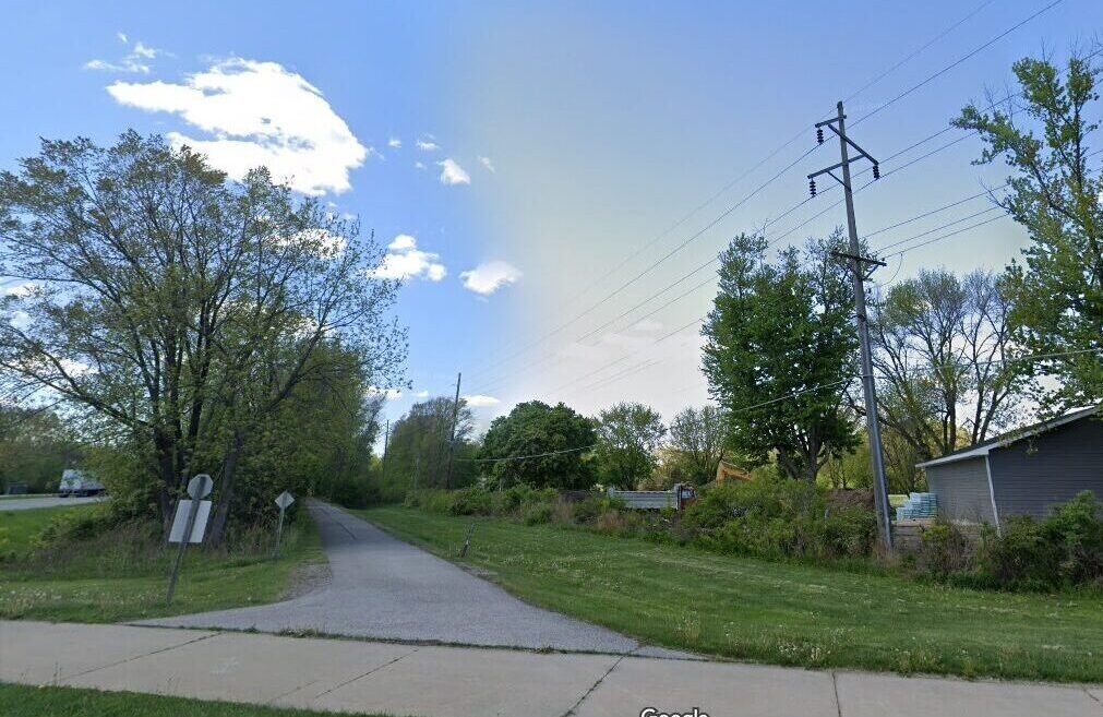
Greenhill Trail

Part of the Cedar Valley Trails Network, the trail runs through open country and residential areas along Greenhill Rd.

Riverview Recreation Trail

This trail runs from West 6th Street in Waterloo along the south side of the Cedar River to the Riverview Recreation Area.
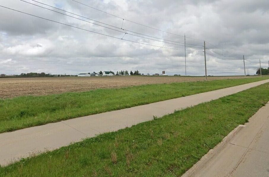
Sergeant Road Trail

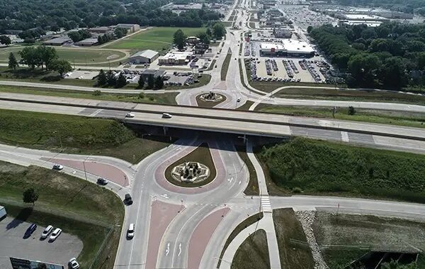
This beautiful trail parallels US 63, also known as Sergeant Road, for about 8 miles, from Waterloo to Hudson.
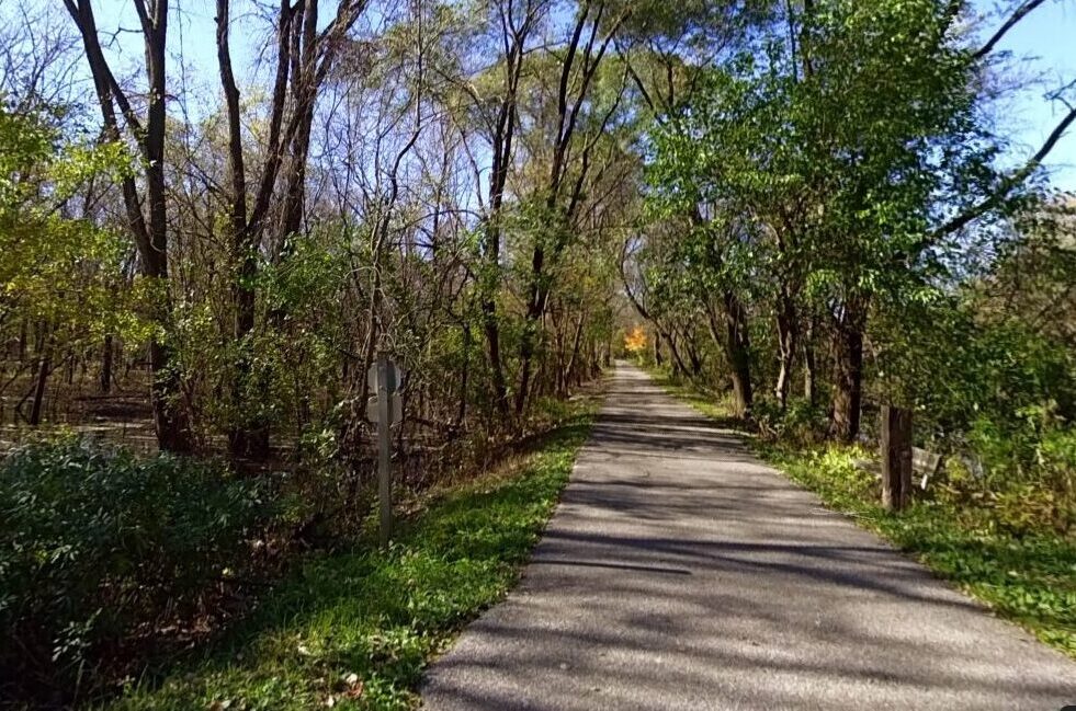
Shaulis Road Trail

The trail parallels Shaulis Road for about 6 miles, from Highway 63 near Hudson to just east of Hess Road near Evansdale.

South Riverside Trail

Trail runs from Main St., Cedar Falls, along the Cedar River, through Sherwood Park, and into Downtown Waterloo.
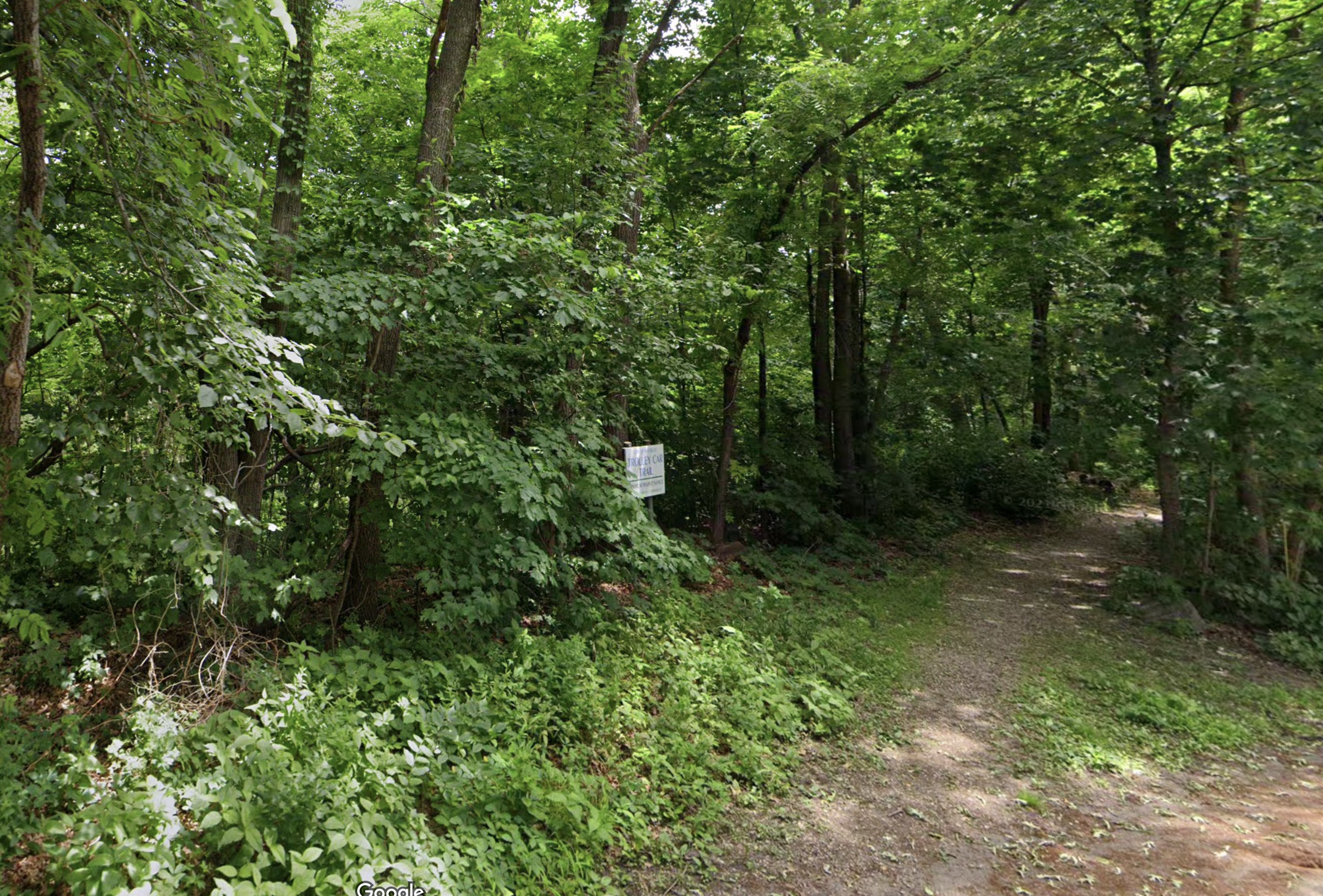
Trolley Car Trail

This trail runs from Grand Blvd, under the Greenhill Road bridge, and parallel to Rainbow Drive to Ansborough Avenue.

University Avenue Trail

The University Avenue Trail is a long sidepath trail that connects west Cedar Falls with Downtown Waterloo.

Subscribe

Name
This field is for validation purposes and should be left unchanged.