Not all unsafe trail conditions may be listed..
TrailAlerts
TrailAlerts
1/1
The Cedar Valley Lakes Trail in Waterloo is closed for an emergency sewer repair. Crews are closing the trail from Vinton Street to the city’s east border. The closure could last up to six weeks.
Date Posted
26 days ago

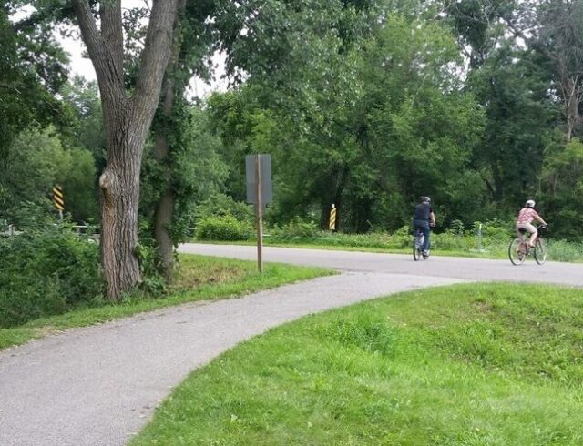
Biking

Running

Birding

Hiking

Walking

Parking

Shade

Lake

Picnic Shelters
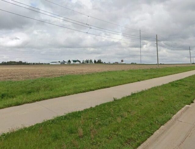
Shaulis Road Trail
The trail parallels Shaulis Road for about 6 miles, from Highway 63 near Hudson to just east of Hess
All Trails
Paved
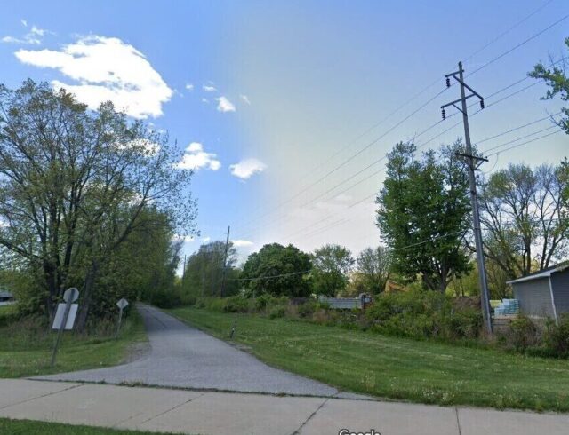
Sergeant Road Trail
This beautiful trail parallels US 63, also known as Sergeant Road, for about 8 miles, from Waterloo
All Trails
Paved
Cedar Prairie Trail
The trail runs through suburban areas as well as the Katoski Greenbelt and Robinson Bird Sanctuary.
All Trails
Paved