Not all unsafe trail conditions may be listed..
TrailAlerts
TrailAlerts
1/1
The Cedar Valley Lakes Trail in Waterloo is closed for an emergency sewer repair. Crews are closing the trail from Vinton Street to the city’s east border. The closure could last up to six weeks.
Date Posted
44 days ago

Biking

Roller Skating

Wildlife
Picnic

Running

Birding

Hiking
Skiing

Walking
Dining

Parking

Shade

Restrooms

Hotel / Motel
Wheelchair Accessible
Picnic Shelters
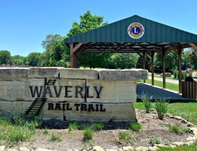
Waverly Rail Trail
The mostly rural trail exhibits a wide variety of flora and fauna. Facilities include benches and picnic tables at key locations.
All Trails
Paved