Not all unsafe trail conditions may be listed..
TrailAlerts TrailAlerts
1/4
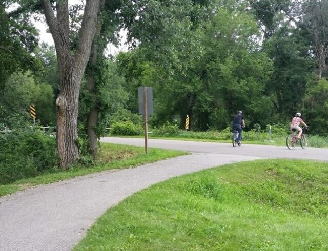
The Cedar Valley Lakes Trail along Gateway Park and the Cedar River will be closed starting September 11, 2023 for up to one year for the construction of the Cedar River Recreational Project. Follow detour signs to bypass this area.
Date Posted
228 days ago
2/4
Park Avenue bridge replacement project. Detour signs will be posted.
Date Posted
668 days ago
3/4
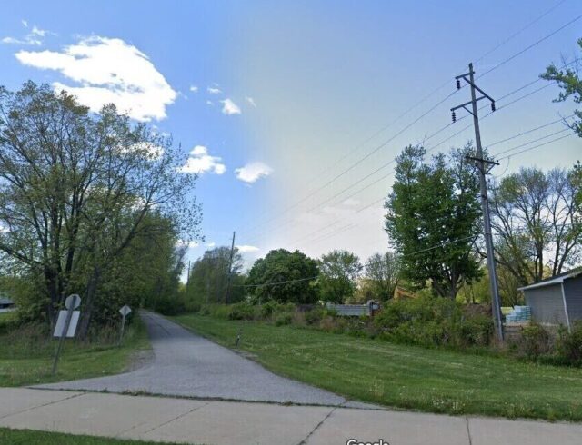
Shaulis Road Trail is closed at Hess Road/La Porte road intersection.
Date Posted
832 days ago
4/4
Bridge construction at 11th Street, trails closed both sides of river under the bridge
Date Posted
545 days ago
Soft Trails

Katoski Greenbelt

Trail Details
Type: Developed, Multiuse
State: Iowa
Counties: Black Hawk
Category: Double Track & Single Track

Katoski Greenbelt Soft Trails

Mostly narrow double track, Greenbelt trail runs along the Black Hawk Creek from Ansborough Avenue to south of Schaulis Road. There are several spurs and loops off of the main Greenbelt trail. Trails are void of major elevation changes.

You will see bikers, walkers (with and without dogs), runners and horse riders on parts of the trail most months. If snow is on the ground you may see cross country skiers, fat tire bike riders or snow shoers.

The north end of the trail starts on the creek side of dike at the Pat Bowlsby Off-Leash Dog Park parking lot where there is a drinking fountain. There are also parking lots on the North and South sides of Ridgeway Ave, Ranchero Rd, and Shaulis Rd.

Dog Park Trail (~2.5 miles)

Greenbelt Lake Loop (~1.2 miles)

Ridgeway Parking Lot Trail (~0.3 miles)

Ridgeway Trail (~0.43 miles)

Ridgeway South Loop (~0.76 miles)

Hwy 20 North Loop (~0.87 miles)

Hwy 20 North East Loop (~.0.37 miles)

Ranchero Road North Loop (~0.84 miles)

Robertson Bird Sanctuary West Loop (~0.29 miles)

Robertson Bird Sanctuary East Loop (~0.4 miles)

Robertson Bird Sanctuary South Loop (~0.41 miles)

Shaulis Road North Trail (~1.35 miles)

Shaulis Road Loop (~0.87 miles)

  • Fishing
  • Biking
  • Hiking trails
  • Canoe/kayak access
  • Dog park
  • Wildlife viewing
  • Bird watching
  • Shelters
Trail Activities

What you can do

Biking

Running

Birding

Hiking

Walking

Nearby Amenities

Useful features & facilities

Parking

Shade

Lake

Picnic Shelters

View Other

Connecting Trails

Shaulis Road Trail

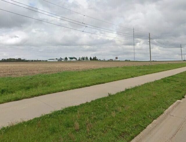
The trail parallels Shaulis Road for about 6 miles, from Highway 63 near Hudson to just east of Hess

Sergeant Road Trail

This beautiful trail parallels US 63, also known as Sergeant Road, for about 8 miles, from Waterloo

Cedar Prairie Trail

The trail runs through suburban areas as well as the Katoski Greenbelt and Robinson Bird Sanctuary.

Subscribe

Name
This field is for validation purposes and should be left unchanged.