Not all unsafe trail conditions may be listed..
TrailAlerts TrailAlerts
1/4
The Cedar Valley Lakes Trail along Gateway Park and the Cedar River will be closed starting September 11, 2023 for up to one year for the construction of the Cedar River Recreational Project. Follow detour signs to bypass this area.
Date Posted
390 days ago
2/4
Park Avenue bridge replacement project. Detour signs will be posted.
Date Posted
830 days ago
3/4
Shaulis Road Trail is closed at Hess Road/La Porte road intersection.
Date Posted
994 days ago
4/4
Bridge construction at 11th Street, trails closed both sides of river under the bridge
Date Posted
707 days ago
Paved Trail

Rolling Prairie Trail

28 mi
Distance
3 Hr
Time
Paved
Surface
Rail Trail
Route Type
Trail Details
Type: Paved Path
State: Iowa
Cities: Shell Rock, Clarksville, Allison, Bristow, Dumont
Counties: Butler
Category: Rail Trail

Rolling Prairie Trail

The Rolling Prairie Trail is a  hiking and biking trail within Butler County. Currently 28.2 miles of former railroad right-of-way have been paved and transformed into the bike trail. Extensions of that paving are planned in the future as funding permits. When complete, the system will run through nine communities and three counties. The trail spans the entire breadth of Butler County from east to west and parallels US Highway 3 just to the north. It is fully-paved between Shell Rock and Bristow, but turns to crushed/compacted limestone just west of Bristow.

In Clarksville, you will travel on city streets and along a county blacktop for a little more than a mile before getting back on the path. The county blacktop (C33 or Superior Road) does have a paved shoulder specifically for bicycles. Use the shoulder on Superior road, then take Main Street south for a short distance until the trail picks up again going west.

Following the grade of a former interurban rail line, the Rolling Prairie Trail boasts minimal elevation change along the entire route, and it will lead you through a variety of scenic backdrops. You will ride through woodlands like those at Heery Woods State Park, pass prairie like that at Wolter’s Prairie Preserve, cross over the Shell Rock River on beautiful wood bridges, and pass by the agricultural fields that Iowa is known for. This diverse habitat offers a variety of wildlife such as deer, birds, rabbits, and more. When snow falls, this trail transforms to become a beautiful and peaceful place for cross-country skiing and snowshoeing.

There are several spots where you can access the trail, some of which are more primitive than others, but all are easily accessible. There are trailheads in Bristow, Allison, Clarksville, and just outside Shell Rock. Each town offers something a little different.

Want to continue your biking adventure? From Shell Rock, you can ride east along the paved Hwy 3 shoulder into Waverly. Enter the downtown area by riding east on Hwy 3 to Bremer Avenue east, then turn south on to 1st Street to catch the bike trail to Brookwood Park and loop around the park. Or, turn north on 1st Street and take the bridge to the right over the Cedar River to link up with the paved Waverly Rail Trail, and ride all the way to Denver or Readlyn.

And, if  you can handle a little crushed/compacted gravel, you can extend your ride west all the way from Bristow through Dumont and on to the current western termination point just east of Hansel. The current paved portion ends just west of Bristow. But the compacted limestone trail is fine for pretty much any type of bike. Eventually, this western stretch will continue all the way through Hampton and on to Coulter, near I-35.

  • Bristow – This trailhead has limited parking, but is close to parks and other areas in town. There are no public restrooms at this location, so make sure to visit one before starting out. Find this trailhead just south of Railroad St. on West St.
  • Allison – There are a few places where you can get on the trail. Located just a few blocks east of downtown on Elm St. (just north of Railroad Ave. and the Butler County Fairgrounds) is one trail head with a few parking spaces. If you need restrooms and more parking, we recommend starting from Wilder Park which is just east of Allison. There are modern restrooms and lots of parking, plus a shelter if you’d like to have a picnic. The trail has a small spur that connects this park to the main trail.
  • Clarksville – Clarksville also offers two different spots to jump on or off the trail. Just a few blocks south on Main St. from Superior, head west on Jefferson St. (there is a Bike Trail sign here) and you will find a few parking spots just as you cross the railroad tracks at the end of the road. Otherwise, try the Heery Woods State Park loop to enjoy the park or use the restrooms.
  • Shell Rock – The trail head is located just a quarter mile north of Highway 3 (on T63 or N Public Road across from the Shell Rock Hay Auction) as it runs through Shell Rock. There is limited parking and no restrooms, but there is a convenience store nearby. The bike trail section between Clarksville and Shell Rock is winding and shaded for most of the trail making it a favorite for bikers and hikers.

Shell Rock

  • Trail head located 1/3 mile north of Highway 3 on T-63
  • Parking available
  • Kiosk with maps and information

Clarksville

  • Trail head at Volunteer Park (one block east of Highway 188, south edge of town)
    - Parking and restrooms available
  • Trail head at Heery Woods State Park
    - Parking and restrooms available
    - Kiosk with maps and information
  • In Clarksville, you will travel on city streets and along a county blacktop for a little more than a mile before being able to hop back on the path. The county blacktop (C33) does have a paved shoulder specifically for bicycles until the trail starts south again. Take the county blacktop (Superior Road) to Main Street. Then head south a short distance on Main Street until you see the trail pick up again on the right heading west.

Allison

  • Trail head near downtown on Elm Street (one block east of Main Street)
  • Parking available
  • Kiosk with maps and information

Bristow

  • Trail head located in southeast area of town on Grand Avenue
  • Parking available
  • Ice cream stand (summer) and restrooms located in city park

Several restaurants are available in Shell Rock, Clarksville, Allison, and Waverly. Patrons can choose from fast food, country-style dining, or elegant sit down meals in a variety of places. Convenience stores are located near the parking areas in Shell Rock, Clarksville, and Allison near the trail access for those needing gas and other small items.

Campgrounds with electrical hook-ups, flush toilet facilities and water pumps are located nearby at the Shell Rock Recreation Area in Shell Rock, Heery Woods State Park in Clarksville, and Wilder Park in Allison. The Shell Rock Recreation Area also offers shower facilities. Several motels are available in Waverly.

Trail Activities

What you can do

Biking

Roller Skating

Wildlife

Picnic

Running

Birding

Hiking

Skiing

Walking

Dining

Nearby Amenities

Useful features & facilities

Parking

Shade

Restrooms

Hotel / Motel

Wheelchair Accessible

Picnic Shelters

View Other

Connecting Trails

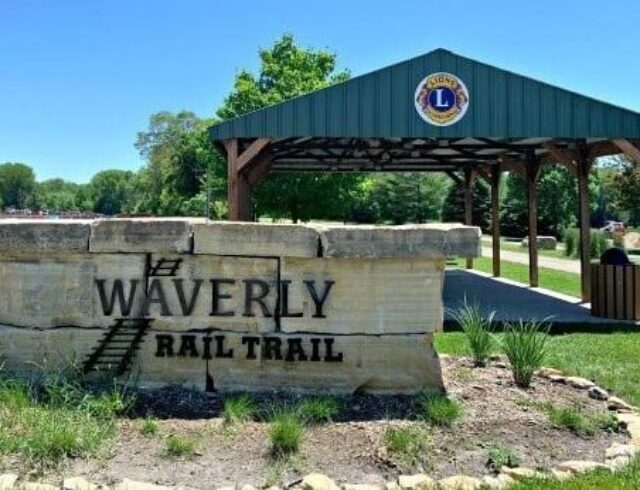
Waverly Rail Trail

The mostly rural trail exhibits a wide variety of flora and fauna. Facilities include benches and picnic tables at key locations.

Subscribe

Name
This field is for validation purposes and should be left unchanged.