Clouds: {{current_weather.clouds}}%
Wind ({{current_weather.wind.deg}}): {{current_weather.wind.speed}}{{units_wind}}
Paved Trails
Connect Communities
More than 128 miles of paved trails connect communities in the Cedar Valley, and they vary between urban, prairie, and lake side scenery.
Maps
View/Download a PDF guide to the entire area here: Cedar Valley Trails & Recreation Guide
View the online Interactive Trail Map produced by INRCOG here: Interactive Cedar Valley Trail Map.
Cedar Valley Trails Patrol is a group of 25 members trained in basic bicycle repairs and first aid. These dedicated volunteers serve as ambassadors and collectively provide an average of 300 hours of service on the trails each year. Trail Patrollers also call in reports on the condition of the trails, including repairs and issues resulting from storms, flooding, etc. If interested in volunteering, email us at trails@cedarvalleytrails@org.
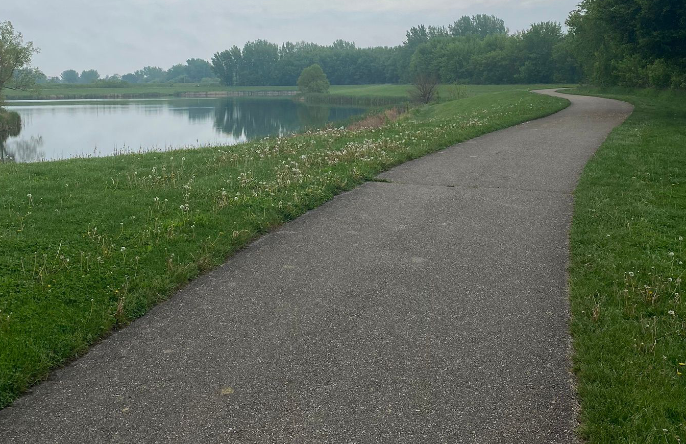
Prairie Lakes Trail
A lovely path that traverses through a pleasant tree-lined corridor that loops around Prairie Lakes in Cedar Falls.
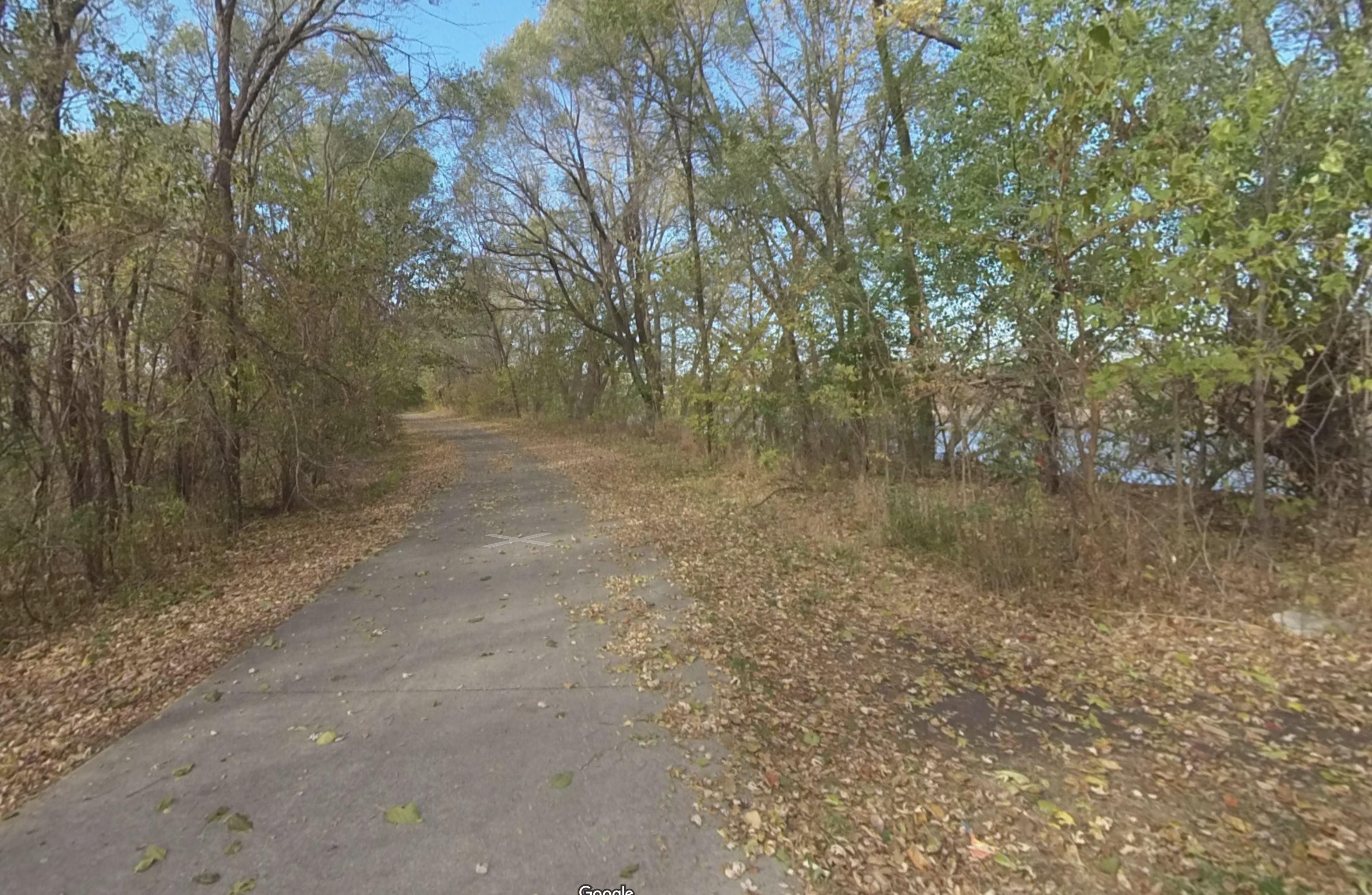
Riverview Recreation Trail
This trail runs from West 6th Street in Waterloo along the south side of the Cedar River to the Riverview Recreation Area.
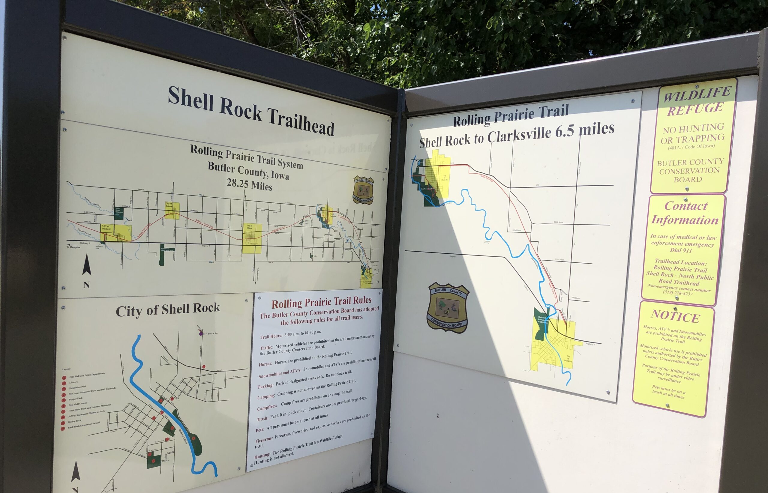
Rolling Prairie Trail
The Rolling Prairie Trail is a non-motorized hiking and biking trail that traverses Shell Rock, Clarksville, Allison, and Bristow.
Sergeant Road Trail
This beautiful trail parallels US 63, also known as Sergeant Road, for about 8 miles, from Waterloo to Hudson.
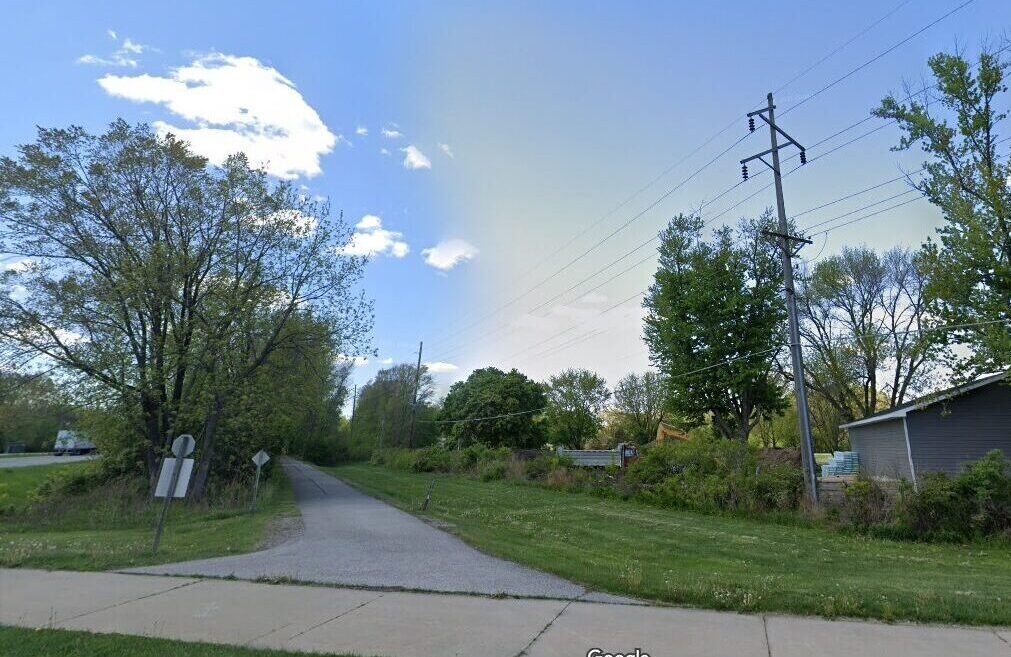
Shaulis Road Trail
The trail parallels Shaulis Road for about 6 miles, from Highway 63 near Hudson to just east of Hess Road near Evansdale.
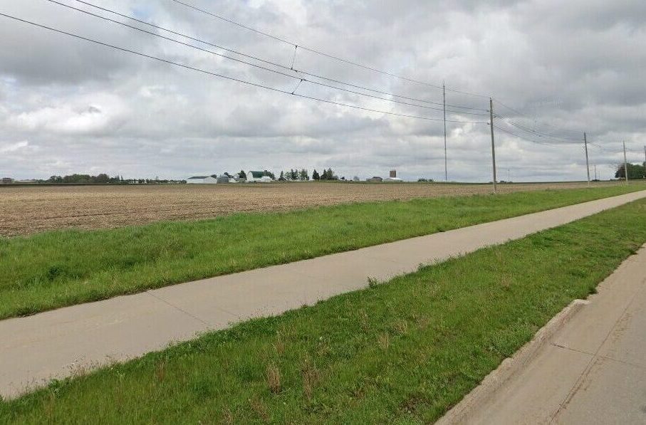
South Riverside Trail
Trail runs from Main St., Cedar Falls, along the Cedar River, through Sherwood Park, and into Downtown Waterloo.
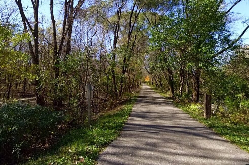
Trolley Car Trail
This trail runs from Grand Blvd, under the Greenhill Road bridge, and parallel to Rainbow Drive to Ansborough Avenue.
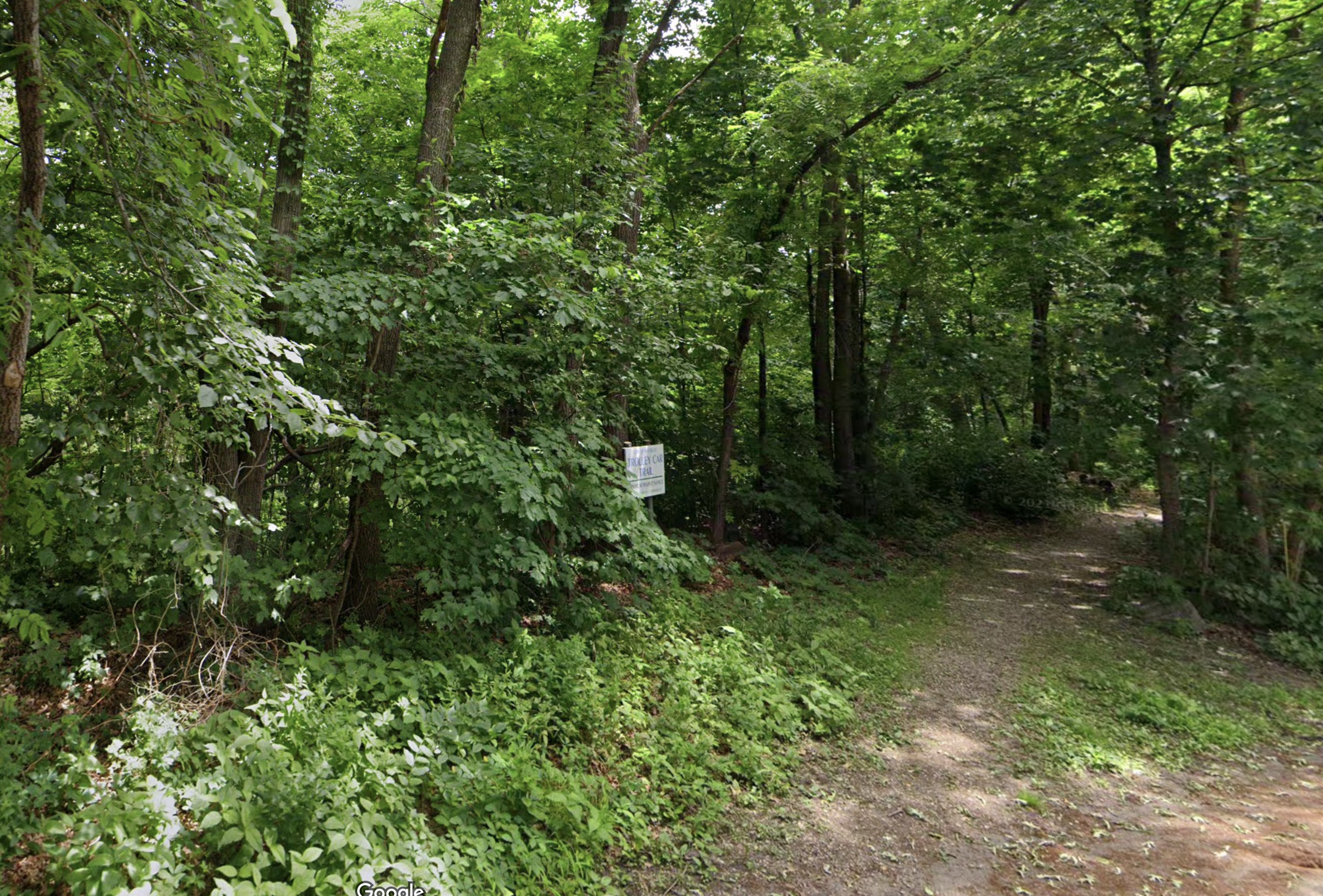
UNI Preserve Trail
In the heart of the campus of the University of Northern Iowa, the UNI Preserve Trail offers a shockingly scenic trek.
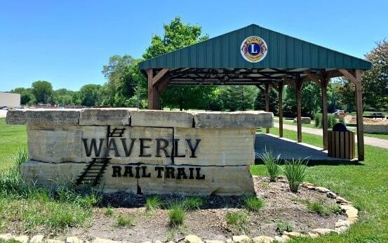
Waverly Rail Trail
The mostly rural trail exhibits a wide variety of flora and fauna. Facilities include benches and picnic tables at key locations.
